 Photo: Zysko serhii · CC BY-SA 4.0
Plitvice, Zadar & Paklenica
Travel from Karlovac and Rastoke to Plitvice, then continue to Zadar, Nin and Paklenica over five days.
- Allow
- 5–6 days
- Route
- 615 km
- Drive time
- 8 hr 4 min
- Stops
- 7
South of Zagreb, rivers lead toward the karst. Karlovac introduces Croatia’s four-river interior, Rastoke makes water part of a lived village, and Plitvice turns it into a protected system of lakes and falls. Beyond the mountains, Zadar and Nin bring the road to the Adriatic before Paklenica cuts back into Velebit limestone.
Plitvice is the fixed point: buy dated entry through official channels, choose the correct entrance and sleep nearby. Never leave luggage visible during the park visit; the strongest version keeps the same accommodation before and after rather than using the car as storage.
The road, in one glance
Pinch or scroll with Ctrl / ⌘ to zoom
Drawing the route…
The route earns
its distance
Each pin is selected as a place to do something—not merely proof that you passed through.
 Photo: Nick Savchenko from Kiev, Ukraine · CC BY-SA 2.0
Zagreb
Start south after city days, with Plitvice date, entrance and nearby lodging already booked.
Zagreb ( ZAH-greb; Croatian: ) is the capital and largest city of Croatia. It is in the north of the country, along the Sava river, at the southern slopes of the Medvednica mountain. Zagreb stands near the international border between Croatia and Slovenia at an elevation of approximately 158 m (518 ft) above sea level.
 Photo: Nea Tanovic · CC BY-SA 4.0
Karlovac
A Renaissance star-shaped center at four rivers makes a grounded first stop beyond Zagreb.
Karlovac is a city in central Croatia. In the 2021 census, its population was 49,377. Karlovac is the administrative centre of Karlovac County.
 Photo: Karl Gruber · CC BY-SA 4.0
Rastoke
Wooden mills and houses sit among channels and small falls where the Slunjčica meets the Korana.
Rastoke is a village, located in the Town of Slunj, known for the Slunjčica River, which flows into the Korana River at Rastoke. At Rastoke, similar natural phenomena are occurring as at the Plitvice Lakes. Rastoke is sometimes known as "the Small Lakes of Plitvice", and is connected to the Plitvice Lakes by the Korana River.
Photo: Zysko serhii · CC BY-SA 4.0Plitvice Lakes National Park
Boardwalks and boats cross a protected chain of turquoise lakes and waterfalls through forested karst.
Plitvice Lakes National Park is one of the oldest and largest national parks in Croatia. In 1979, Plitvice Lakes National Park was inscribed on the UNESCO World Heritage list, for its outstanding and picturesque series of tufa lakes, caves, and connected waterfalls. The national park was founded in 1949 and is in the mountainous karst area of central Croatia, at the border with Bosnia and Herzegovina.
 Photo: dronepicr · CC BY 2.0
Zadar
Roman fragments, medieval churches and the Sea Organ make a layered, walkable Adriatic base.
Zadar (US: ZAH-dar, Croatian: ), historically known as Zara, is the oldest continuously inhabited city in Croatia. It is situated on the Adriatic Sea, at the northwestern part of Ravni Kotari region. Zadar serves as the seat of Zadar County and of the wider northern Dalmatian region.
 Photo: Böhringer Friedrich · CC BY-SA 2.5
Nin
A tiny historic island town, salt pans and shallow lagoon create a low-key contrast to Zadar.
Nin is a town in the Zadar County of Croatia. Nin was historically important as a centre of a medieval Christian Diocese of Nin. Nin was also the seat of the Princes of Dalmatia.
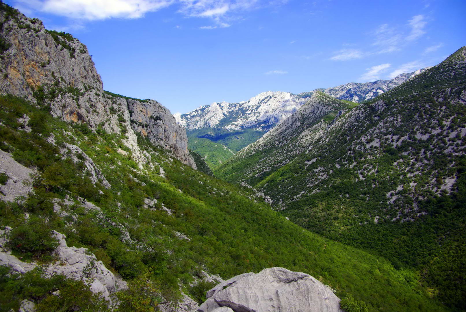 Photo: optimatyi · CC BY-SA 3.0
Paklenica National Park
Two canyons cut into the Velebit range directly above the coast, offering hikes from easy to serious.
The Paklenica karst river canyon is a national park in Croatia. It is near Starigrad, northern Dalmatia, on the southern slopes of Velebit mountain, not far from Zadar. It contains two canyons, Mala (Small) and Velika (Big) Paklenica.
Drive the conditions,
not the itinerary.
Reserve Plitvice entry, use the named entrance on your ticket and check Velebit wind and motorway status. Keep luggage at accommodation.
Checked against
the people who run it
Distances and driving times are planning estimates. Conditions, closures, ferries, permits and park rules can change, so check the linked official guidance before setting out.