
Why Sljeme is the best “reset” trip
Medvednica (often called Sljeme by locals) is the mountain backdrop above Zagreb. It’s the easiest way to trade city streets for forest air — without committing to a long travel day.
How to plan the day (simple)
- Choose your intensity: short nature walk vs. a longer hike.
- Start earlier if you want quieter paths.
- Bring layers: mountain weather can change faster than in the city.
Optional highlight: Medvedgrad
Medvedgrad adds a “castle ruins + viewpoint” layer to your mountain day. It’s a great pick if you want a destination-feeling stop, not just a forest walk.
Pair it with Zagreb
- Do Sljeme after a museum-heavy day for balance.
- Return for a calm dinner + night walk (a perfect contrast).
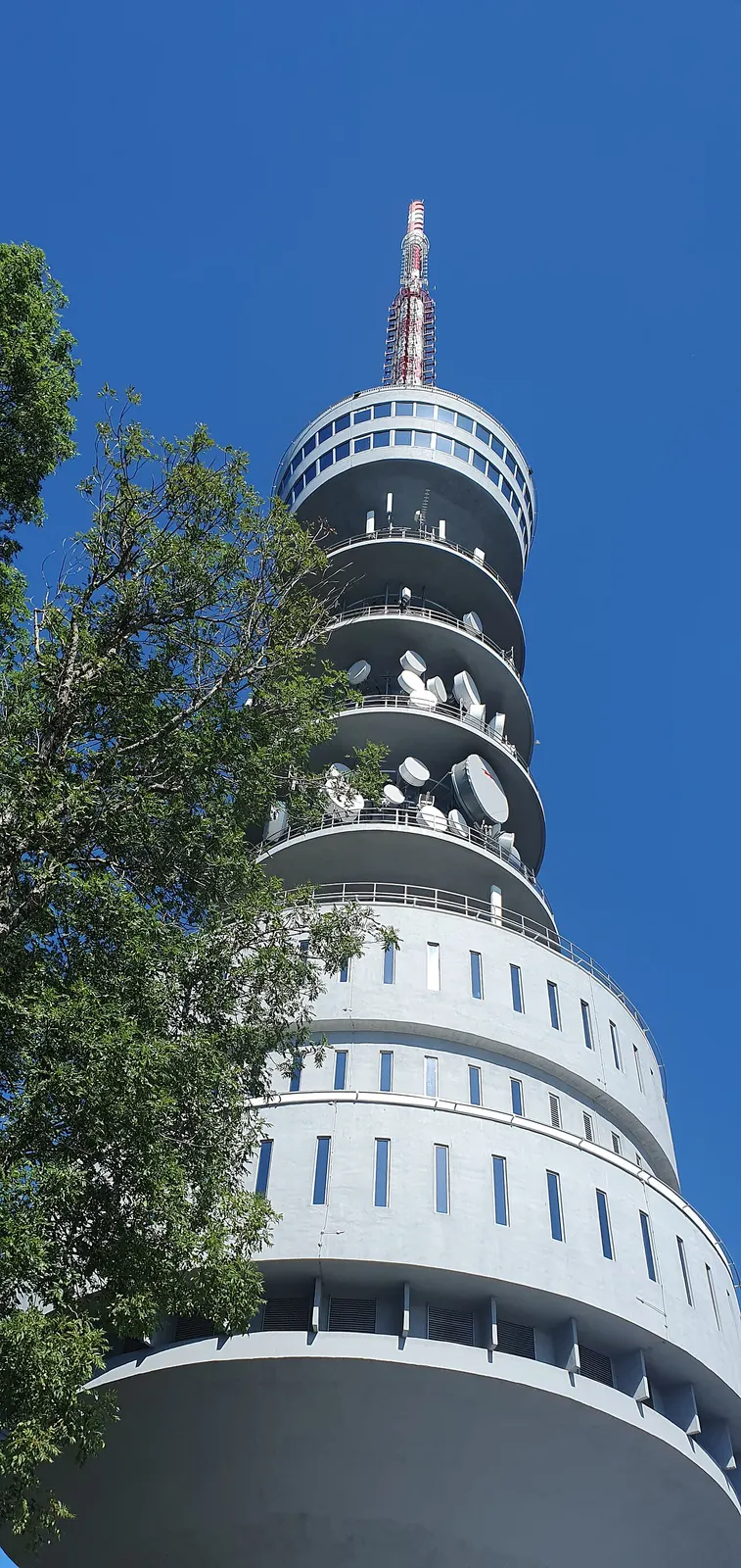
What a Medvednica and Sljeme day should add to the trip
Choose Medvednica for forest, elevation and an active reset from the capital. Decide whether the goal is a real hike, a shorter mountain walk or the summit area before selecting transport and equipment.
A route and pace that make a Medvednica and Sljeme day work
Start early enough for daylight and weather margin, follow a route matched to the group and return directly to Zagreb for an uncomplicated dinner. Do not improvise a long trail after arrival.
The choices, trade-offs and common mistake
Prioritise the mountain when nature matters more than another town or museum. Families and casual walkers need a route whose distance, grade and exit are genuinely understood.
Weather, trail conditions, cable-car or transport operation and daylight are live variables. Use official mountain and operator information, carry water and layers, and never rely on city-centre conditions.
Weather, current information and the fallback plan
Maksimir provides a lower-risk green alternative; a shorter Medvedgrad-focused outing may suit partial conditions. Cancel rather than forcing exposed or unclear routes.
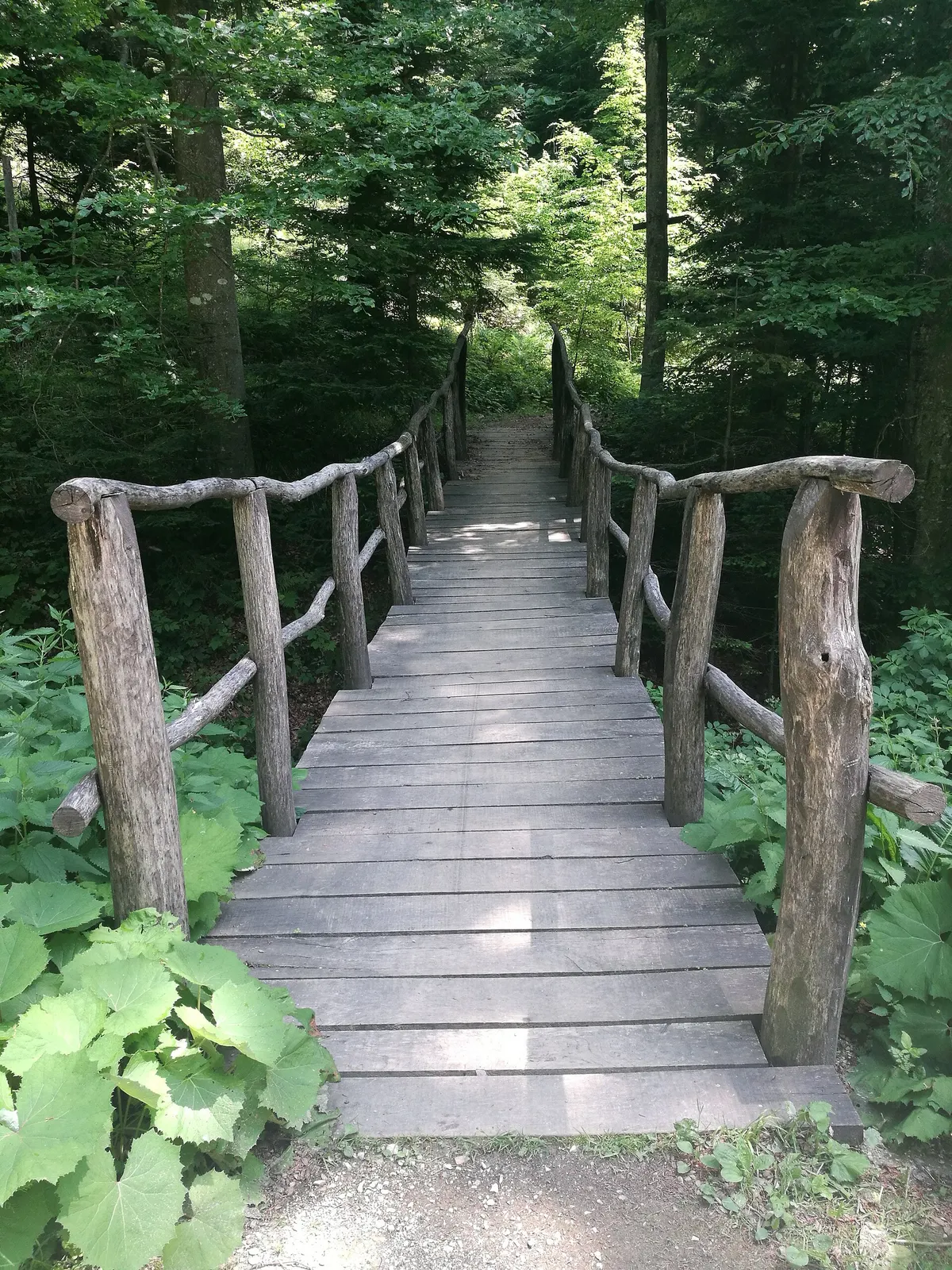
Who should choose Medvednica over another day trip
Medvednica earns time on the itinerary for a traveller who wants forest, elevation and a change of air without committing to a distant regional transfer. It suits people willing to make a few outdoor decisions—route, equipment, weather and turnaround—in exchange for seeing the mountain that forms Zagreb’s northern edge. The trip can be short and summit-led or become a proper hike, but neither version should be treated as an unplanned extension of a city walk.
It is a poor fit between transport connections, with city footwear, or on a first short visit whose central Zagreb chapter remains unfinished. Samobor offers a gentler town-and-food reset; Plitvice offers a much larger national-park day; Medvedgrad provides a focused fortress visit on Medvednica’s lower southern side. Choose the mountain when being outdoors is the main interest, not simply because the ridge is visible from the city.
Medvednica is the park; Sljeme is the peak
The names are related but not interchangeable. Medvednica is the protected mountain park extending along Zagreb’s northern side, with forests, routes, visitor sites and many possible starting points. Sljeme is its 1,033-metre highest peak and the name most visitors associate with the upper-mountain area and television tower. Saying ‘a Medvednica day’ still leaves the route open; saying ‘Sljeme’ usually makes the summit the organising destination.
That distinction should be settled before looking at transport. A summit visit can use the quickest currently operating connection and keep the walking close to the upper area. A hike begins with a trailhead, direction, elevation and return plan that may or may not use Sljeme at all. A family nature outing can remain lower and shorter. Do not buy or board first, then hope the arrival point happens to match the day everyone imagined.
Three honest shapes for the day
The summit-and-short-walk version prioritises reaching the Sljeme area, seeing its infrastructure and landscape, eating or pausing when a venue is confirmed open, and taking only a signed nearby walk that matches current conditions. It suits visitors more interested in elevation and atmosphere than in climbing from the city side. It still depends on weather and the operating status of the chosen transport; exposed upper ground can be less forgiving than streets below.
The proper-hike version makes the trail the subject and Sljeme only one possible waypoint. Choose it only after confirming distance, elevation gain, technical character, closures and the return. Several hours on roots, mud, snow or uneven forest ground are a different promise from a paved city day. The family or nature version should be shorter and deliberately reversible, with a clear stopping point and no requirement to reach a summit, hut or viewpoint.
- Summit-led: transport does most of the elevation; walking remains conditional and nearby.
- Hike-led: the signed route, fitness and turnaround time define the day.
- Family/nature-led: a short confirmed route, observation and an easy return matter more than distance.
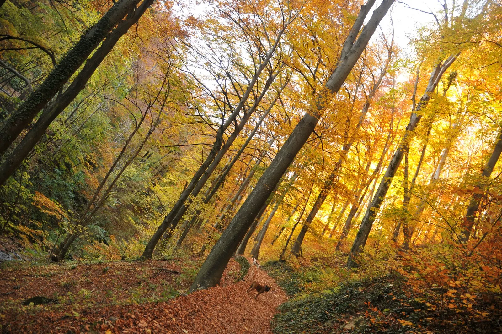
Choose a signed route without inventing one
There is no useful evergreen ‘best Medvednica route’. The right choice depends on the start, direction, ability, daylight and current state of the park. Decide the desired day shape, then use the park authority’s current map, notices and on-site waymarking to select a route that actually fits. A track copied from an old blog or social post can outlive a diversion, closure or change in access; it should never override official information or the conditions in front of you.
Record the route name or number, start and finish, expected elevation, decision points and a turnaround time before moving away from the trailhead. Save an offline map as a supplement, not permission to create shortcuts. When a sign and a phone disagree, stop and resolve the discrepancy rather than continuing in the hoped-for direction. If the group cannot explain how it will return, it does not yet have a route—it has only a destination.
Cable car, public transport or car
The cable car can turn Sljeme into an upper-mountain visit with far less ascent, but its current operation, access arrangements, ticketing and weather response belong to ZET, the official transport operator. Check all of them on the day and keep a fallback that does not assume replacement transport will perfectly reproduce the plan. The ability to reach the upper station also does not make surrounding natural trails universally accessible; confirm surfaces and facilities for any specific need.
Other public transport can suit lower trailheads and one-way hiking plans when current connections align. A car adds control over the start and finish, yet designated parking can fill and informal roadside parking damages the park the visit depends on. Official Medvednica guidance encourages public transport or bicycle and requires drivers to use designated spaces. Choose the car for a route that genuinely needs it, not because mountain proximity makes parking look inevitable.
Food and huts are a bonus to verify
A warm meal or drink can give the mountain day a memorable centre, especially in cold weather, but no itinerary should make a particular hut responsible for safety or energy. Operating days, maintenance and seasonal patterns can change. Confirm the intended venue shortly before leaving, then still carry enough water and food for the route without it. The longer the walk and the farther from the upper infrastructure, the less sensible it is to outsource basic provisions to an unverified counter.
When a hut is open, respect its practical role. Muddy equipment, busy tables and limited service are part of a mountain setting, not evidence of a failed city restaurant. Order what suits the conditions, keep passageways clear and do not occupy a table for photography while others need shelter. If it is closed, use the supplies carried for exactly that possibility and decide whether the route still makes sense before continuing.
Footwear, fitness, navigation and turning back
Match footwear to the confirmed surface and weather, not to the short distance from Zagreb. Even a modest forest walk can contain roots, loose ground, mud, ice or wet wooden structures. A longer hiking version needs grip, layers, water and fitness for its actual distance and ascent. Avoid declaring any route suitable for ordinary trainers in advance; recent conditions decide more than the label attached to a trail on a dry summer map.
Set the turnaround before starting and make it conservative enough to absorb a slow section, navigation pause or missed connection. Carry a charged phone, offline route information and a light source when the return could approach dusk. Share the intended route and return with someone outside the group on a longer walk. These are ordinary hill habits, not evidence that Medvednica is remote wilderness; the mountain is close to a capital but still asks for outdoor judgement.
Access, children, solo walkers and mixed groups
Medvednica is not uniformly accessible. Transport infrastructure and parts of the summit area may reduce the amount of walking, while natural paths beyond them introduce uneven ground and gradients. Travellers using a wheelchair, stroller or mobility aid should confirm the entire chain—vehicle, station, surface, facilities and return—with the operator and park authority. A label such as ‘summit visit’ is not enough to prove a continuous accessible route.
With children, choose a short official route that can be reversed and let forest details, bridges or snow provide the interest. Reaching Sljeme is not a family achievement if the return becomes miserable. Couples and friends should agree whether the day is social walking or athletic hiking before departure. Solo walkers should remain particularly conservative about unfamiliar long routes, keep to the confirmed plan and share it; a path being popular does not remove navigation, injury or weather risk.
Mixed groups can use the upper area as a common chapter only when the meeting place and transport remain clear. One person taking a longer trail while another waits at an assumed-open venue is not a robust plan. Fix the reunion point, latest time and backup communication first, and make sure every participant has water, shelter and an independent way to understand the return.
Four seasons, with conditions checked today
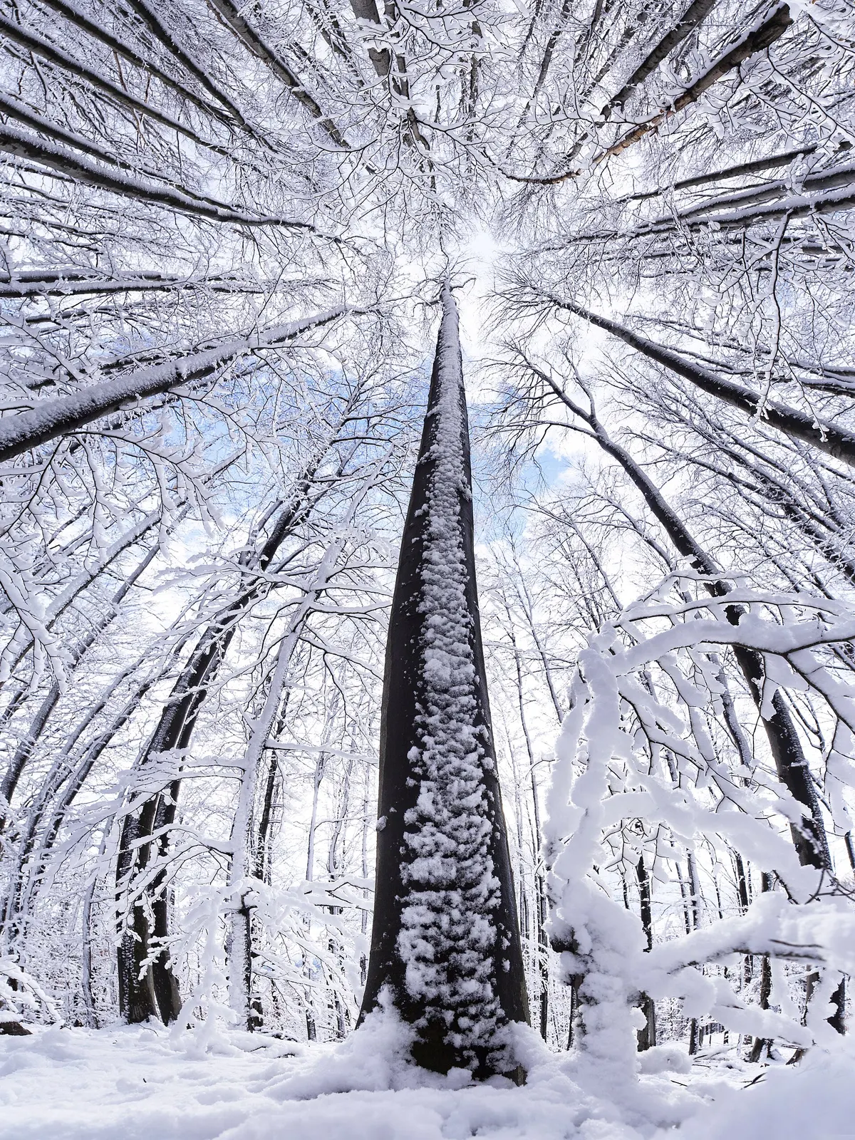
Spring can leave shaded ground wet after central Zagreb appears dry. Summer heat increases the value of an early start and enough water, while storms or wind can still change an upper-mountain plan. Autumn provides strong forest colour but steadily less daylight. Winter may bring snow or ice on Medvednica when lower streets show little sign of either. None of these tendencies replaces a same-day forecast, park notice and view of the actual ground.
Carry layers because temperature, wind and effort change across the route. In poor visibility, shorten the plan rather than assuming the promised view will appear later. After rain, select a surface that the group can handle or use the city fallback. When winter equipment or experience is required and the group does not have it, keep to a confirmed suitable area or postpone; proximity is not a reason to improvise on ice.
Protected-park behaviour and the final checks
Medvednica is protected and heavily used by a city beside it. Official guidance asks visitors to minimise their footprint: use public transport or bicycle when practical, park only in designated areas, carry rubbish out, keep dogs leashed, avoid unnecessary noise, light no fires and camp only where expressly permitted. Stay on the official route and leave plants, fungi, animals and historic fabric where they are. These are conditions of a good day, not an environmental footnote after it.
Photograph forest light, the summit tower, seasonal detail and the city view without stepping beyond barriers or trampling vegetation for a cleaner frame. Keep drones, commercial equipment and organised activity within whatever current park rules and permissions apply. Before leaving, confirm transport both ways, route status, forecast, daylight, food and water, footwear, an offline map and the fallback. If any essential part remains unknown, reduce the route until the uncertainty no longer matters.
- Choose summit-led, hike-led or family/nature-led before choosing transport.
- Use current park information for the route and ZET for transport status.
- Carry provisions without assuming a hut is open.
- Set and obey a turnaround time.
- Leave the protected mountain quieter and cleaner than you found it.